Maps and map-making; three lectures delivered under the auspices of the Royal geographical society (1910)
Reeves, Edward Ayearst, 1862-1945, Royal Geographical Society (Great Britain) · London, The Royal geographical society · leaf 157
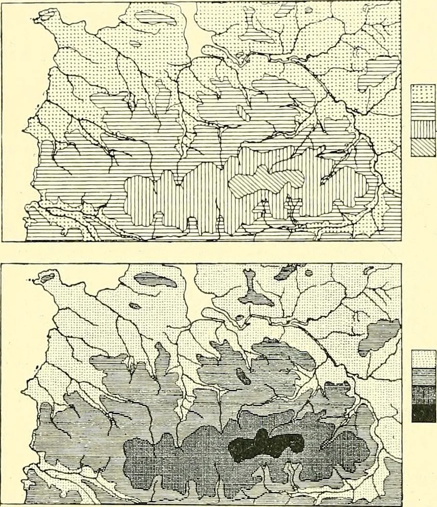
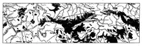
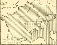
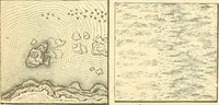
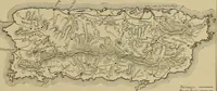
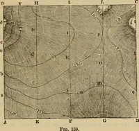
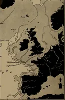
of relief. The lower map, though still onlysymbols in black are used, gives some idea of relief, as these are arranged so thatthey become darker asthe height increases. To represent therelief of a country atall satisfactorily is byno means an easymatter. Considerabletechnical skill is re-quired,… … Fig. 130.—Layer System of showing Relief(uncoloured). have a knowledge of land forms and physical phenomenawhich no office or book can teach him, and which canonly be acquired by a carefully trained student of naturein the open country, and in the wild domains of Natureherself. One of the most…
Cartography · Surveying
Internet Archive · Wellesley College Library · Public Domain Mark 1.0. Free to use for anything.