Maps and map-making; three lectures delivered under the auspices of the Royal geographical society (1910)
Reeves, Edward Ayearst, 1862-1945, Royal Geographical Society (Great Britain) · London, The Royal geographical society · leaf 162
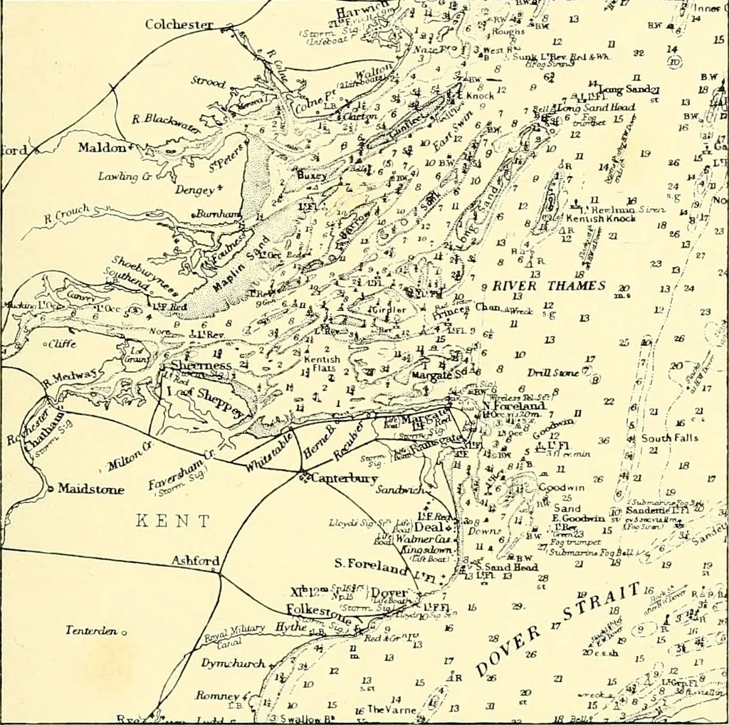
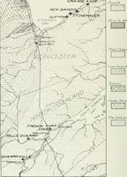
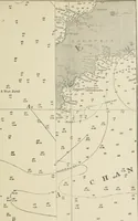
of the BritishIsles have always been held in great esteem for their MAP CONS TR UCTION 137 accuracy and excellent execution, during the last fifteen yearsor so improvements in several respects have been madein the style of production, specially with the one-inchand other smaller scales. Doubtless… … Fig. 133.—Part of Admiralty Chart of English Coast. such as France and Switzerland, had been printed iu colourslong before our own maps, and I well remember the timewhen there was no such thing as a coloured sheet of theOrdnance Survey to be obtained. In 1892, owing toinfluential representations,…
Cartography · Surveying
Internet Archive · Wellesley College Library · Public Domain Mark 1.0. Free to use for anything.