Maps and map-making; three lectures delivered under the auspices of the Royal geographical society (1910)
Reeves, Edward Ayearst, 1862-1945, Royal Geographical Society (Great Britain) · London, The Royal geographical society · leaf 168
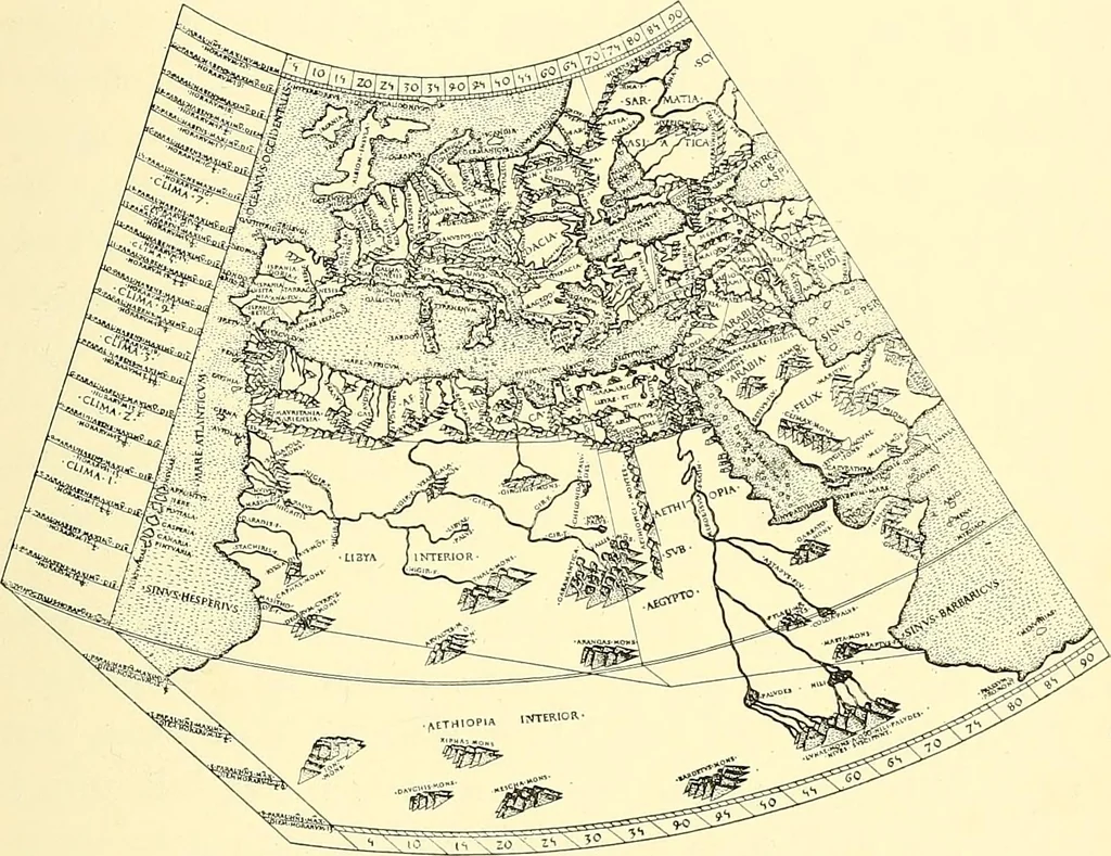
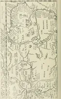
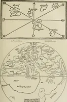
a chart submitted to him, and first made analteration, but afterwards, finding his first spelling was MAP CONSTRUCTION 141 right, lie placed Stet at the side to show that noalteration was to be made. However, the intelligent litho-grapher put Stet down on the chart as a new place, andit was only… … Fig. 134.—Specimen of Early Printed Map.(From the edition of Ptolemy, Rome, 1478.) slow and expensive process of hand copying. The intro-duction of metal and wood engraving, although perhaps ofa much earlier date in the East, appears to have taken placein Europe about a.d. 1406, and what may be…
Cartography · Surveying
Internet Archive · Wellesley College Library · Public Domain Mark 1.0. Free to use for anything.
![An illustration from The textile manufactures of the ancients : embracing the history of silk, linen, cotton, wool, and other fibrous substances : deduced from Yate's [sic] Textrinum antiquorum, and other authentic sources (1873)](https://img.insideoutlibrary.com/img/200/ia-textilemanufactu00prac-442-11.webp)