Maps and map-making; three lectures delivered under the auspices of the Royal geographical society (1910)
Reeves, Edward Ayearst, 1862-1945, Royal Geographical Society (Great Britain) · London, The Royal geographical society · leaf 21
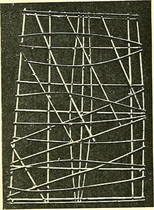
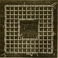
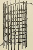
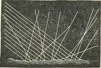
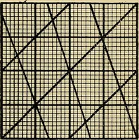
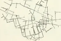
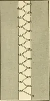
kable. If we only knew the truth, it isquite possible that maps and plansof some sort or other were drawnlong before we have any record ofthem. We can imagine boundaryquestions arising even in very earlydays, although most likely no pro-longed diplomatic discussions wererequired for their… … Fig. 2. -Marshall IslandersChart. (From reproduction in Man of chartin British Museum.) PRELIMINARY REMARKS and evidence of this hasbeen brought to light byresearches in Egypt, Meso-potamia, and elsewhere.For the allotment of landsand mines, marking outof boundaries, location ofwells, plans would…
Cartography · Surveying
Internet Archive · Wellesley College Library · Public Domain Mark 1.0. Free to use for anything.