Maps and map-making; three lectures delivered under the auspices of the Royal geographical society (1910)
Reeves, Edward Ayearst, 1862-1945, Royal Geographical Society (Great Britain) · London, The Royal geographical society · leaf 27
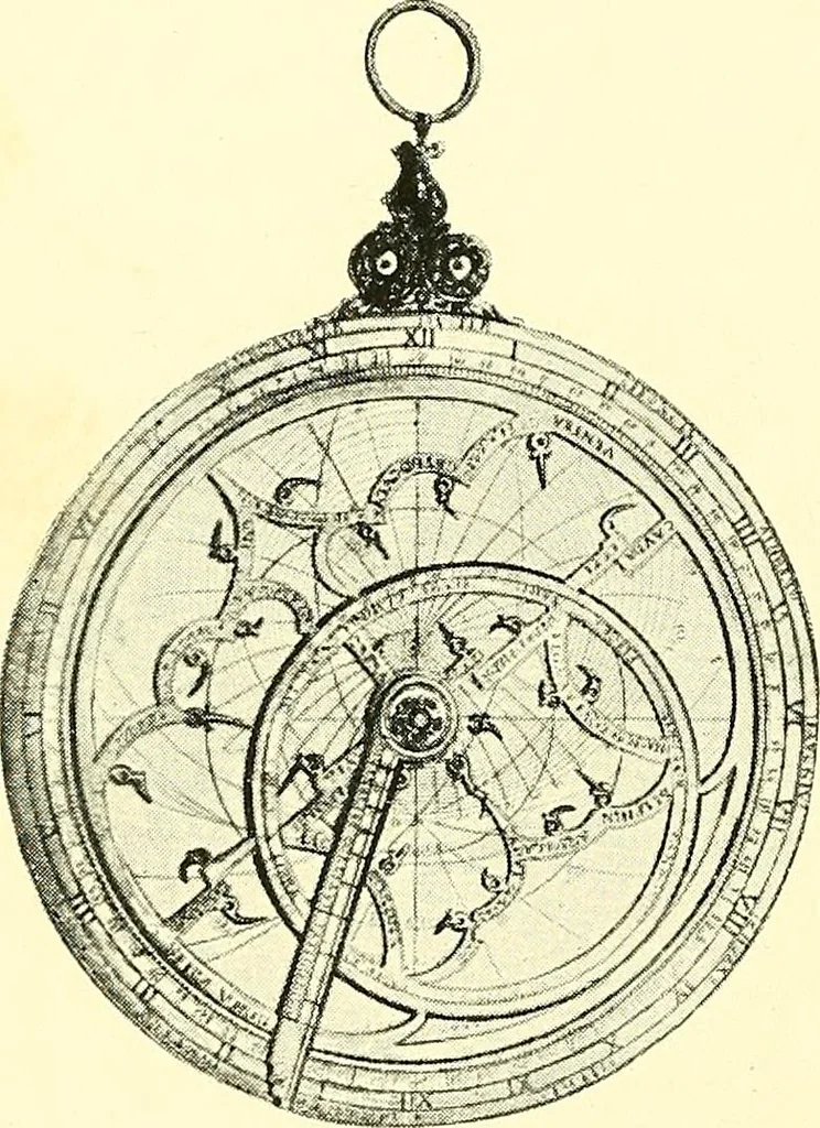
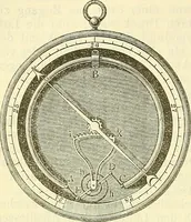
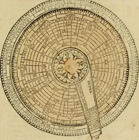
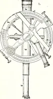
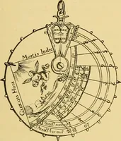
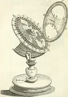
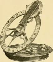
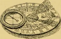
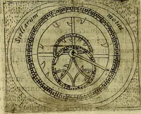
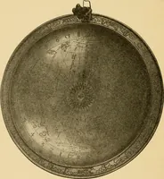
8 MAPS AND MAP-MAKING in use up to the sixteenth or seventeenth century in someform or another, to be only finally superseded by thequadrant and sextant in the eighteenth century. The Astrolabe (Figs. 6 and 7) consisted of a somewhatheavy circular metal ring with inlet plates and discs fordifferent…
Cartography · Surveying
Internet Archive · Wellesley College Library · Public Domain Mark 1.0. Free to use for anything.