Maps and map-making; three lectures delivered under the auspices of the Royal geographical society (1910)
Reeves, Edward Ayearst, 1862-1945, Royal Geographical Society (Great Britain) · London, The Royal geographical society · leaf 30
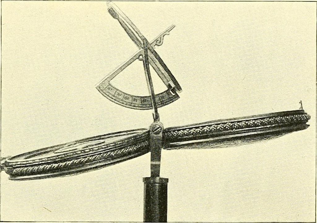
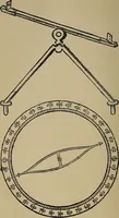
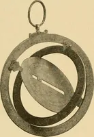
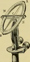
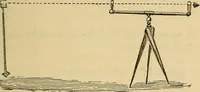
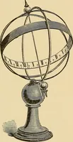
ument, known as Ptolemy s Rods, or the Triquetum,which continued for many years to do very creditable work.This instrument consisted of three rulers, one of which washeld vertical, another directed towards the object whosezenith distance was to be measured, whilst the third gavethe distance between… … Fig. 10.—Drakes Astrolabe. Copernicus in his observation of planets, but because it isa prototype of many topographical instruments where threerulers are employed for obtaining heights and distances.A few years ago a range-finder was submitted for myinspection, which was almost exactly this…
Cartography · Surveying
Internet Archive · Wellesley College Library · Public Domain Mark 1.0. Free to use for anything.