Maps and map-making; three lectures delivered under the auspices of the Royal geographical society (1910)
Reeves, Edward Ayearst, 1862-1945, Royal Geographical Society (Great Britain) · London, The Royal geographical society · leaf 31
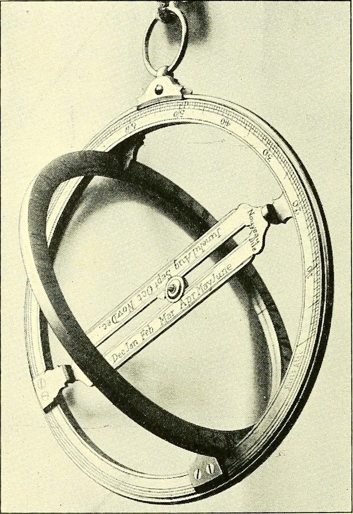
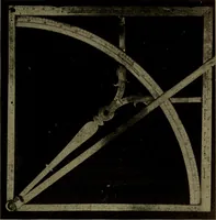
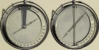
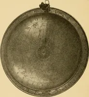
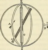
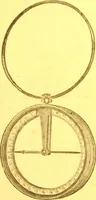
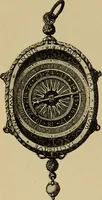
dered of the greatest importance,and whilst, as we have seen, the astrolabe held the chief 12 MAPS AND MAP-MAKING place for sea observation for centuries, and in fact, continuedin use until the sixteenth or seventeenth century, therewere doubtless many attempts at improvements as timepassed, and… … Pig. 11.—Oughtreds Horological Eing. of the ordinary astrolabe with all its elaborate circles andcurves, for navigation purposes the instrument becamemuch simplified, and we have here a view (Fig. 11) of aningenious arrangement called Oughtreds Horological Ring,which can be used for taking…
Cartography · Surveying
Internet Archive · Wellesley College Library · Public Domain Mark 1.0. Free to use for anything.