Maps and map-making; three lectures delivered under the auspices of the Royal geographical society (1910)
Reeves, Edward Ayearst, 1862-1945, Royal Geographical Society (Great Britain) · London, The Royal geographical society · leaf 32
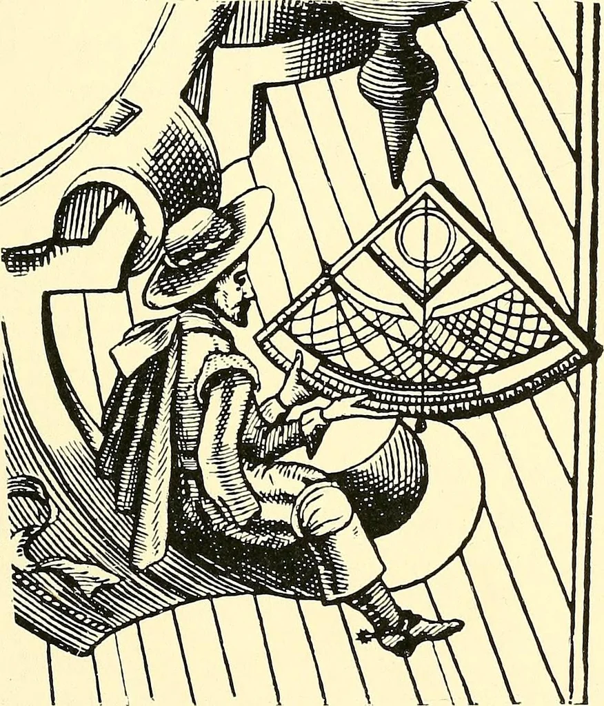
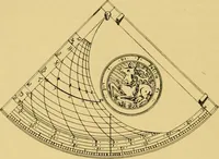
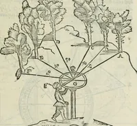
e has always been to find somemethod of measuring angular altitudes on the rolling deck INSTRUMENTS 13 of a vessel. The astrolabe furnished a rough means ofdoing this, and it is indeed remarkable what results wereobtained with it. Instead of a complete circle such as thatof an astrolabe, sometimes… … Pig. 12.—The Quadrant. A step forward was made in the construction of instru-ments for mariners when the Cross-staff appeared, for herewe have the first attempt at an instrument by which theheavenly body and the horizon line could be seen at the sametime. The earliest known description of the…
Cartography · Surveying
Internet Archive · Wellesley College Library · Public Domain Mark 1.0. Free to use for anything.
![An illustration from XVIIme [i.e. dix-septième] siècle : lettres, sciences et arts, France, 1590-1700 (1882)](https://img.insideoutlibrary.com/img/200/ia-xviimeiedixsepti00jaco-36-15.webp)