Maps and map-making; three lectures delivered under the auspices of the Royal geographical society (1910)
Reeves, Edward Ayearst, 1862-1945, Royal Geographical Society (Great Britain) · London, The Royal geographical society · leaf 36
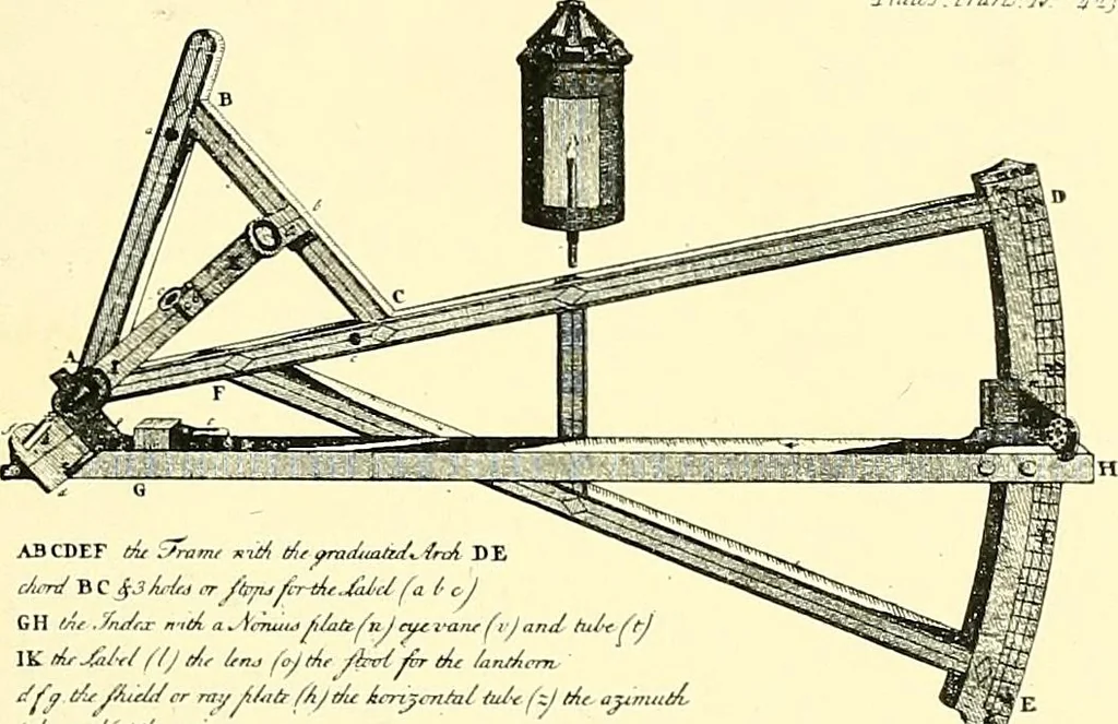
ack to the sun so that the rays of light passedin the ordinary way through the upper lens or sight, andthen move the index arm until the level was seen to beapproximately in the centre of its run, when the readingon the arc would be the altitude. The lantern was forlighting the sights when… … A3CDEF (At .ram, Kti/, t/„ ym^m/*/^ /nA DEMm/ B C jjM,j rr /hyu/i-rticMc/ fa /■ tj Zu/r* *;d aJ!JnwflaafnJ<ycz™(,/<,n<l hi, MC lit MM /// Utr in* fojdr /fcrt/£r t4t /,j„,/,m</fr A/A.Mrr ntyjUitrfi/l/U imjcnM&A- fy A- ajvr. Fig. 17.—Eltons Artificial Horizon fitted to Back-staff.…
Cartography · Surveying
Internet Archive · Wellesley College Library · Public Domain Mark 1.0. Free to use for anything.