Maps and map-making; three lectures delivered under the auspices of the Royal geographical society (1910)
Reeves, Edward Ayearst, 1862-1945, Royal Geographical Society (Great Britain) · London, The Royal geographical society · leaf 44
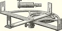
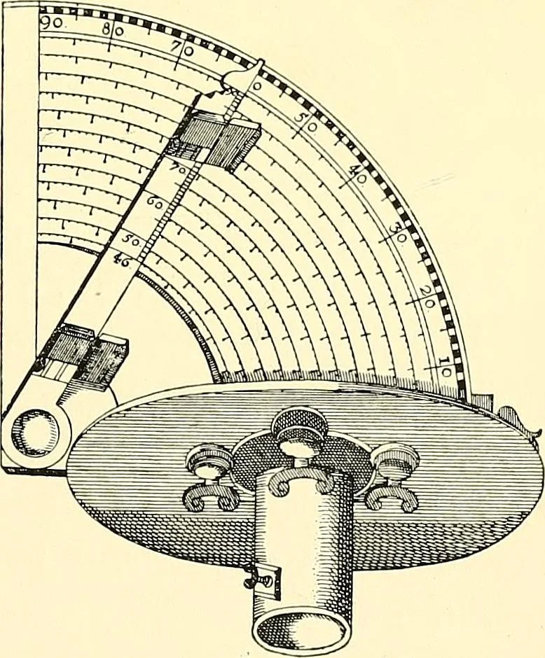
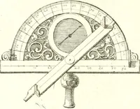
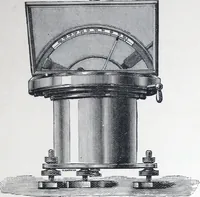
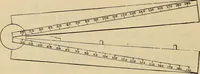
racy of reading Angles. you see on the instrument in Fig. 30, and which must havebeen of considerable assist-ance in determining the smalldivisions. However, evenwith this, things were veryunsatisfactory, and inventiveminds were strenuously en-deavouring to devise somemore accurate method ofreading… … Fig. 31.—Quadrant with Nonius.{From Dudleys Arcano del Mare.) 26 MAPS AND MAP-MAKING greater accuracy for readings, which afterwards bore hisname, and was called the Nonius (Fig. 31). This consistedof a large series of concentric segments of circles, eachdivided into a different number of equal…
Cartography · Surveying
Internet Archive · Wellesley College Library · Public Domain Mark 1.0. Free to use for anything.
![An illustration from [Graphophone patents] (1878)](https://img.insideoutlibrary.com/img/200/ia-graphophonepaten07unit-323-216.webp)