Maps and map-making; three lectures delivered under the auspices of the Royal geographical society (1910)
Reeves, Edward Ayearst, 1862-1945, Royal Geographical Society (Great Britain) · London, The Royal geographical society · leaf 49
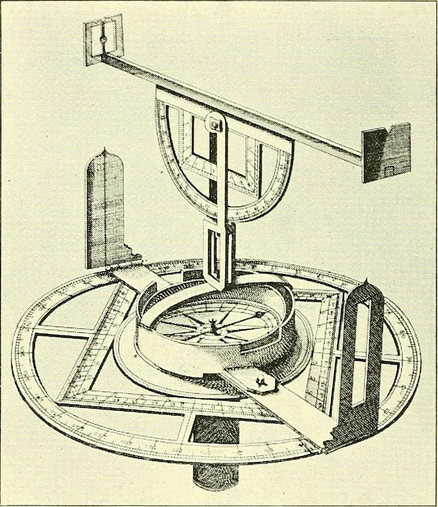
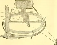
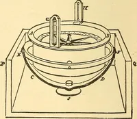
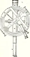
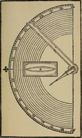
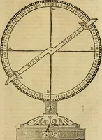
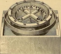
dolite of Digges (Fig. 35) was very 30 MAPS AND MAP-MAKING different from the modern instrument that goes by thatname. There was, of course, no telescope and no vernier,and only a plumb-line for a level, so that it would beimpossible to do accurate work with it; still, the principleof the modern… … Fig. 36.—Old Theodolite. great change seems to have been made in the design ofthe instrument for about eighty years. Here, Fig. 37,is an interesting old sketch, taken from Digges book,showing his theodolite in use for rinding the distance of aship. It is an interesting fact that the theodolite,…
Cartography · Surveying
Internet Archive · Wellesley College Library · Public Domain Mark 1.0. Free to use for anything.