Maps and map-making; three lectures delivered under the auspices of the Royal geographical society (1910)
Reeves, Edward Ayearst, 1862-1945, Royal Geographical Society (Great Britain) · London, The Royal geographical society · leaf 65
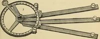
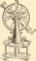
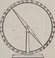
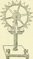
nciple. However, it was not until the sixteenthcentury that we have any very definite information about thismethod of surveying. In the year 1597 Phillip Danfrie, ofParis, invented and described an ingenious instrument calledthe Graphometre, by which angles could be measured anddrawn on the plan… … FiG. 53.—Graphometre.(From Laussedets Recherches sur les In-struments, etc ) INSTRUMENTS 47 consisted of two alidades, one fixed, and the othermovable; while attached to the centre of the fixed alidadewas a large protractor. When used for making a plan, thesurveyor would stand at one end of a…
Cartography · Surveying
Internet Archive · Wellesley College Library · Public Domain Mark 1.0. Free to use for anything.
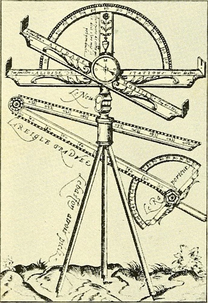
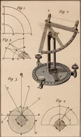
![An illustration from Declaration de l'vsage du graphometre : par la pratique duq[ue]l l'on peut mesurer toutes distances des choses de remarque qui se pourront voir et discerner du lieu ou il sera posé : et po[ur] arpenter terres, bois, prez, & faire plans de villes et forteresses, cartes geographiques, & generalement toutes mesures visibles : et ce sans reigle d'arithmetique (1597)](https://img.insideoutlibrary.com/img/200/ia-declarationdelvs00danf-106-26.webp)