Maps and map-making; three lectures delivered under the auspices of the Royal geographical society (1910)
Reeves, Edward Ayearst, 1862-1945, Royal Geographical Society (Great Britain) · London, The Royal geographical society · leaf 67
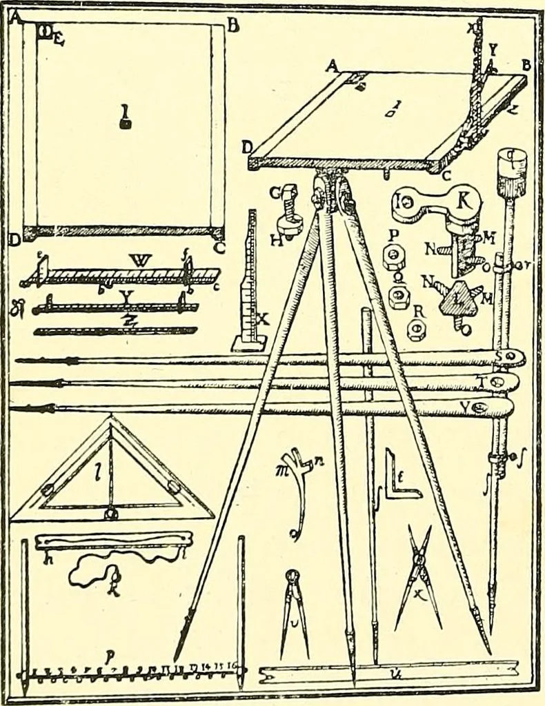
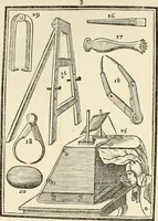
s ofexamples of using this in-strument, one of which (Fig.55) is of decided interest.It shows the instrumentused vertically for findingthe height of a tower. About the year 1590,the German, Jean Prsetorius,who was for some years Pro-fessor of Mathematics at Fig. 56.—PreetoriusPlane-table. Witfpnhfw… … INSTRUMENTS 49 favourably with many modern instruments. It is shown inFig. 56, and is certainly a most creditable production.
Cartography · Surveying
Internet Archive · Wellesley College Library · Public Domain Mark 1.0. Free to use for anything.