Maps and map-making; three lectures delivered under the auspices of the Royal geographical society (1910)
Reeves, Edward Ayearst, 1862-1945, Royal Geographical Society (Great Britain) · London, The Royal geographical society · leaf 73
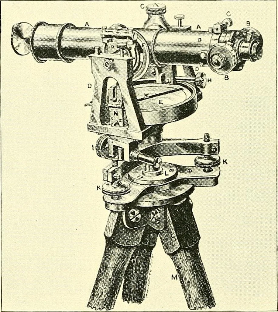
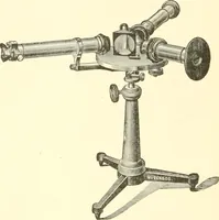
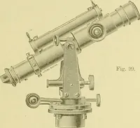
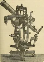
them, by means of adiamonds point, and applied them to the measurement of 54 MAPS AND MAP-MAKING distances. Specimens of his work can still be seen in theRoyal Academy of Science at Munich. It is a strange coincidence, and yet one that often occursin such matters, that Brander and Green were both… … Fig. 61.—Subtense Instrument. many improvements have been introduced. On the Surveyof India it is usual to employ a fixed rod of 10 or 20 feet,and measure the angle subtended by this rod, by a double-position micrometer, as shown in Fig. 61. The late ColonelTanner, of the Indian Survey, obtained…
Cartography · Surveying
Internet Archive · Wellesley College Library · Public Domain Mark 1.0. Free to use for anything.