Maps and map-making; three lectures delivered under the auspices of the Royal geographical society (1910)
Reeves, Edward Ayearst, 1862-1945, Royal Geographical Society (Great Britain) · London, The Royal geographical society · leaf 86
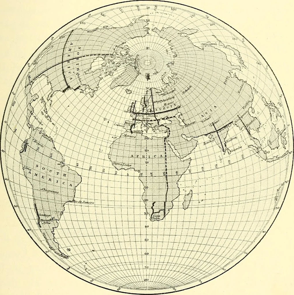
Fig. 68. SURVEY METHODS 67 the same angle, increase in length ; and it is principally fromthis measured difference in the length of a degree, or certainnumber of degrees, that the figure of the earth has beendetermined. As we have stated, another method of finding the truefigure of the earth is by… … Fig. 69.—Most important accurately measured Arcs. on the oscillation of the pendulum as the equator is leftfor higher latitudes. If the polar radius is shorter than theequatorial, the force of gravity, after allowing for increasedcentrifugal force at the equator, would be slightly greaterat the…
Cartography · Surveying
Internet Archive · Wellesley College Library · Public Domain Mark 1.0. Free to use for anything.