Maps and map-making; three lectures delivered under the auspices of the Royal geographical society (1910)
Reeves, Edward Ayearst, 1862-1945, Royal Geographical Society (Great Britain) · London, The Royal geographical society · leaf 89
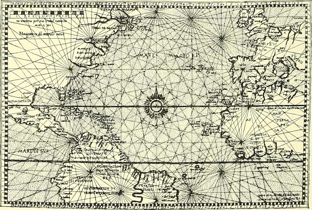
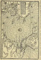
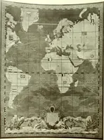
make use of them for steering their ships, and fixingtheir positions approximately in latitude. But these weredoubtless few, and by far the greater number workedentirely by dead reckoning as it is now called by navi-gators, obtaining rough estimates of their distances anddirection, using landmarks,… … Fig. 70.—Chart of Atlantic, showing Loxodromic Lines.{From a chart of A.D. 1565 in Putnams Nautical Charts.) of them were covered with lines of bearings, or loxodromiclines (Greek Ao^o?, oblique, and Spo/xos, a course), as theywere called, for the guidance of navigators, like that herereproduced…
Cartography · Surveying
Internet Archive · Wellesley College Library · Public Domain Mark 1.0. Free to use for anything.
![An illustration from Le theatre du monde, ou, Nouuel atlas [cartographic material] (1650)](https://img.insideoutlibrary.com/img/200/ia-letheatredumonde00blae-296-276.webp)
![An illustration from The English pilot. [cartographic material] : The fourth book. Describing The West-India navigation, from Hudson's Bay to the River Amazones. Particularly delineating The Sea Coasts, Capes, Headlands, Rivers, Bays, Roads, Havens, Harbours, Streights, Rocks, Sands, Shoals, Banks, Depths of Water, and Anchorage, with all the Islands therein, as Jamaica, Cuba, Hispaniola, Barbadoes, Antigua, Bermudas, Porto Rico, and the rest of the Caribbee and Bahama Islands. Also, A new Description of Newfoundland, New England, New York, East and West New- Jersey, Dellawar Bay, Virginia, Maryland, Carolina. showing, The Courses and Distances from one Place to another; the Ebbing and Flowing of the Sea, the Setting of the Tides and Currents, &c. With many other Things necessary to be known in Navigation. (1775)](https://img.insideoutlibrary.com/img/200/ia-englishpilotcart00thor-106-426.webp)