Maps and map-making; three lectures delivered under the auspices of the Royal geographical society (1910)
Reeves, Edward Ayearst, 1862-1945, Royal Geographical Society (Great Britain) · London, The Royal geographical society · leaf 93
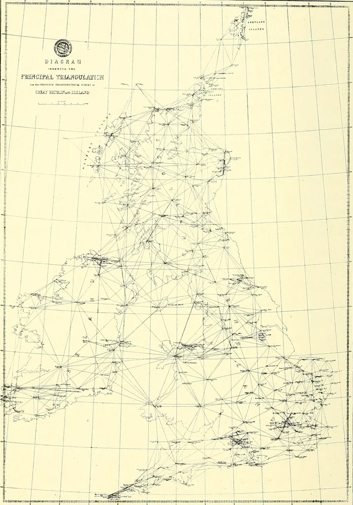
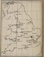
stood,so far as we know it had not been practically applied. Hereis a map (Fig. 75) of the principal triangulation of theBritish Isles, and another one of the triangulation of India(Fig. 76). These will give you an idea of what is meant.The sides of the triangles computed from a measured… … Fig. 75.—Triangulation of the British Isles. uneven country, apart from the impossible time it wouldtake, would, as you can imagine, be a most difficultbusiness : but when only one base-line has to be measured, SUB VET METHODS 75 it is quite different, and all the attention and care indistance…
Cartography · Surveying
Internet Archive · Wellesley College Library · Public Domain Mark 1.0. Free to use for anything.