Maps and map-making; three lectures delivered under the auspices of the Royal geographical society (1910)
Reeves, Edward Ayearst, 1862-1945, Royal Geographical Society (Great Britain) · London, The Royal geographical society · leaf 94
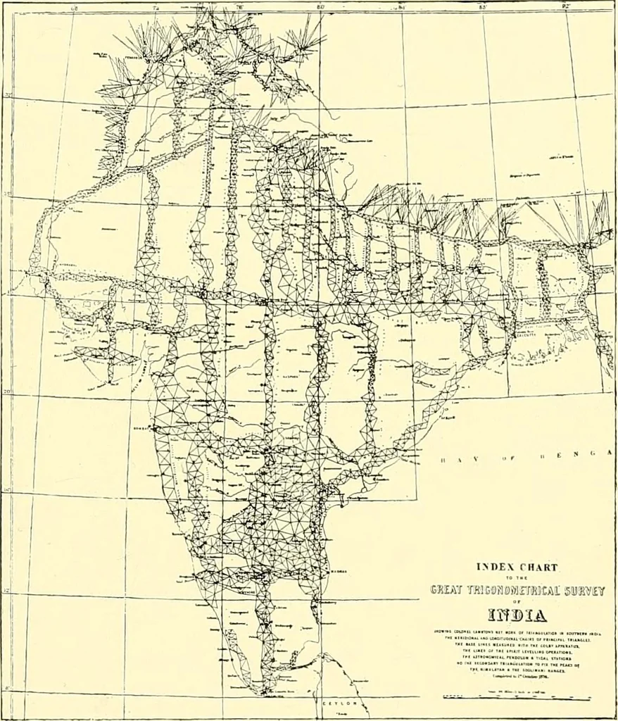
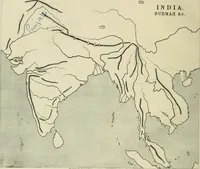
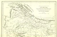
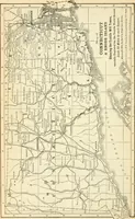
finelines for coinci-dence in measur-ing. The outsidelength of the bars was 20 feet 3 inches, and they weresupported at each end by stands. After proceeding sometime with the measurement of the base in this manner, itwas found that the humidity in the air affected the lengthof the rods, and it was… … Fig. 76.—India, showing Triangulation. 76 MAPS AND MAP-MAKING well, and it was announced that the true length of theline was 27,404*0137 feet at a temperature 62° Fahr. In1791, the Ordnance Survey was placed under the charge ofCol. Williams, Capt. Mudge, and Isaac Dalby, and their firsttask was the…
Cartography · Surveying
Internet Archive · Wellesley College Library · Public Domain Mark 1.0. Free to use for anything.