Maps and map-making; three lectures delivered under the auspices of the Royal geographical society (1910)
Reeves, Edward Ayearst, 1862-1945, Royal Geographical Society (Great Britain) · London, The Royal geographical society · leaf 95
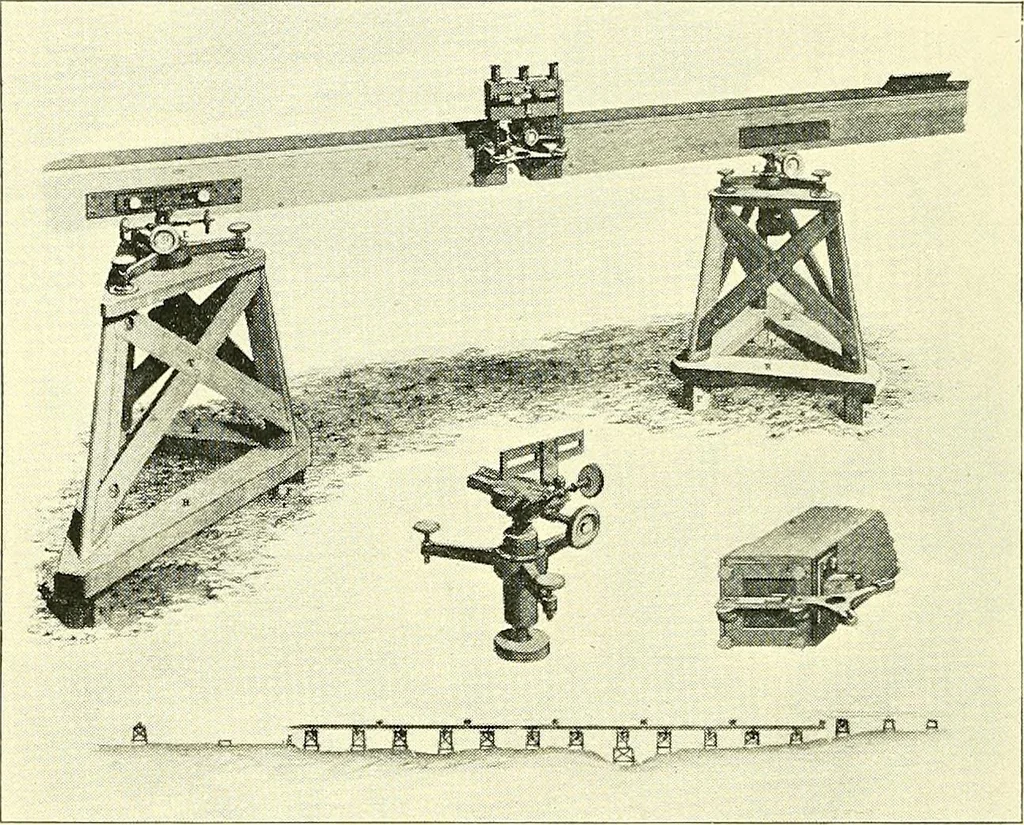
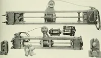
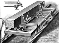
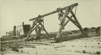
Fig. 76.—India, showing Triangulation. 76 MAPS AND MAP-MAKING well, and it was announced that the true length of theline was 27,404*0137 feet at a temperature 62° Fahr. In1791, the Ordnance Survey was placed under the charge ofCol. Williams, Capt. Mudge, and Isaac Dalby, and their firsttask was the… … Fig. 77.—Colbys Compensation Base-Line Apparatus. A new apparatus came into use later on for basemeasurement, designed by Colonel Colby, and used in themeasurement of the Lough Foyle base in Ireland in 1827—1838 ; and the Salisbury Plain base in 1848. The differencebetween the measured length of…
Cartography · Surveying
Internet Archive · Wellesley College Library · Public Domain Mark 1.0. Free to use for anything.