Inside Out Library · Explore

The mariners mirrour : wherin may playnly be seen the courses, heights, distances, depths, soundings, flouds and ebs, risings of lands, rocks, sands and shoalds, with the marks for th'entrings of the harbouroughs, havens and ports of the greatest part of Europe: their seueral traficks and commodities: together w.th the rules and instrume[n]ts of navigation. (1588)

Waghenaer, Lucas Janszoon, 1534 or 1535-1606 · [London : Printed by John Charlewood] · leaf 132
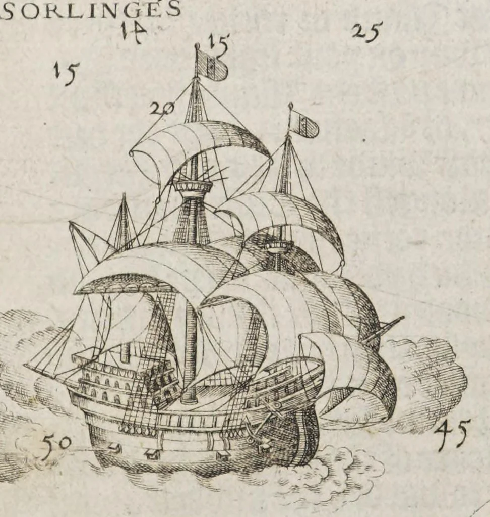
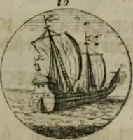
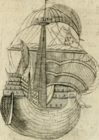
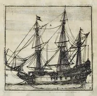
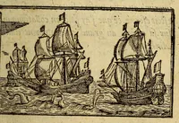
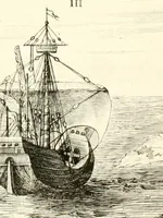
An illustration from The mariners mirrour : wherin may playnly be seen the courses, heights, distances, depths, soundings, flouds and ebs, risings of lands, rocks, sands and shoalds, with the marks for th'entrings of the harbouroughs, havens and ports of the greatest part of Europe: their seueral traficks and commodities: together w.th the rules and instrume[n]ts of navigation., 1588, leaf 132
stol BES Bates. — / y “The lands ence of Englc i Oo i dy openeth When you Cor Spamifh Seq i Ag to this manner = ‘O vd a8 » App eis a © Ne ; ft © by We “th » zur. Lt \ 7 PENSANCE 4 E vane | Ap rhe. Za = “7 [ou … ,from the Sov qlan d N of 16 a a/ lances end ze) s by the I hs L svith the hanens Iyrnout: Seseess * =a. ~H > Se aN “= ——— ‘ < ios Sx = i Es 4

Navigation · Nautical charts -- Europe · Atlases -- Netherlands · Early maps · Imprint 1588

Internet Archive · John Carter Brown Library · Public domain (published before 1931). Free to use for anything.

More pictures from The mariners mirrour : wherin may playnly be seen the courses, heights, distances, depths, soundings, flouds and ebs, risings of lands, rocks, sands and shoalds, with the marks for th'entrings of the harbouroughs, havens and ports of the greatest part of Europe: their seueral traficks and commodities: together w.th the rules and instrume[n]ts of navigation.

More like this