The mariners mirrour : wherin may playnly be seen the courses, heights, distances, depths, soundings, flouds and ebs, risings of lands, rocks, sands and shoalds, with the marks for th'entrings of the harbouroughs, havens and ports of the greatest part of Europe: their seueral traficks and commodities: together w.th the rules and instrume[n]ts of navigation. (1588)
Waghenaer, Lucas Janszoon, 1534 or 1535-1606 · [London : Printed by John Charlewood] · leaf 232
’ a ¢ opentetlh. the T — A; 7 f vhen you heat é il righ neren wh ‘2 ar i /? / j ie - * < beth v1 before you ght £ 7 Se ee ee Sea. coafles of Cyder Du ‘ euler , Wesee, Hence land Ut tth tl? Mets 0 ty and, hoaldes eft thes and other fag) enge along trees [a G Jea coafle LmAanyY.. ia err ( RAND ke…
Navigation · Nautical charts -- Europe · Atlases -- Netherlands · Early maps · Imprint 1588
Internet Archive · John Carter Brown Library · Public domain (published before 1931). Free to use for anything.
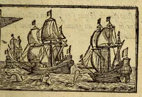
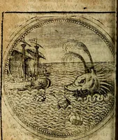
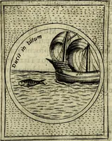
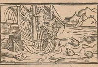
![An illustration from The mariners mirrour : wherin may playnly be seen the courses, heights, distances, depths, soundings, flouds and ebs, risings of lands, rocks, sands and shoalds, with the marks for th'entrings of the harbouroughs, havens and ports of the greatest part of Europe: their seueral traficks and commodities: together w.th the rules and instrume[n]ts of navigation., 1588, leaf 232](https://img.insideoutlibrary.com/img/1024/ia-marinersmirrourw00wagh-232-0.webp)