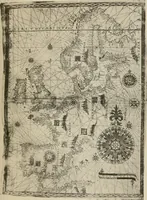
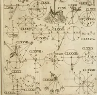
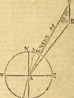
The mariners mirrour : wherin may playnly be seen the courses, heights, distances, depths, soundings, flouds and ebs, risings of lands, rocks, sands and shoalds, with the marks for th'entrings of the harbouroughs, havens and ports of the greatest part of Europe: their seueral traficks and commodities: together w.th the rules and instrume[n]ts of navigation. (1588)
Waghenaer, Lucas Janszoon, 1534 or 1535-1606 · [London : Printed by John Charlewood] · leaf 56
| | : Ge ay 2 Lathe = > 1 boa ma ie nm 2 os ; } - ae th) 3 , ; : : @and aa. . ; \ ™" . 4 3 = ig re id . 1 ; j / \ : 7 | / - ~ , ‘ / | f y, ‘ > / R \ \ e \ : | | oLypn | j oY hs ) | : : | / > “ . - ul ; ( 3 | Jipit | | . : | : is . é \ C= a = { . \ A \ \ 5 \ \ D | ) z ) J ’ 3 | } | < I ' 4 ; : = j \…
Navigation · Nautical charts -- Europe · Atlases -- Netherlands · Early maps · Imprint 1588
Internet Archive · John Carter Brown Library · Public domain (published before 1931). Free to use for anything.
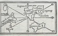
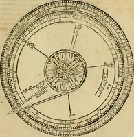
![An illustration from The mariners mirrour : wherin may playnly be seen the courses, heights, distances, depths, soundings, flouds and ebs, risings of lands, rocks, sands and shoalds, with the marks for th'entrings of the harbouroughs, havens and ports of the greatest part of Europe: their seueral traficks and commodities: together w.th the rules and instrume[n]ts of navigation., 1588, leaf 56](https://img.insideoutlibrary.com/img/1024/ia-marinersmirrourw00wagh-56-0.webp)
![An illustration from Tertia pars Indiae Orientalis: qua continentur I. Secunda pars nauigationum à Ioanne Hugone Lintschotano Hollando in Orientem susceptarum; & maximè situs illarum regionum, & in his insulàrum, fluminum, riparum, portuum, &c. tum in transitu, tum ipsa India sitorum: vbi iuxta etiam vniuersa, quae autor illic, & postea in reditu versus Hollandiam vidit & notauit, diligenter designantur. : II. Nauigatio Hollandorum in insulas Orientales, Iauan & Svmatram: vbi pariter de morbius, vita, & religione incolarum quaedam haud iniucunda traduntur. III. Tres nauigationes Hollandorum in modo dictam Indiam per septentrionalem seu glacialem oceanum, vbi mira quaedam & stupenda denarrantur. Quibus iam de nouo accesserunt aliae de anno M.D.XVIII. vsq[ue] M.D.C.XXIX. historiae memorabiles, & notatu dignissimae. (1629)](https://img.insideoutlibrary.com/img/200/ia-tertiaparsindiae00lins_1-64-2.webp)