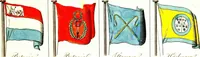
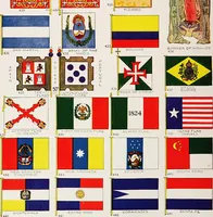
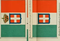
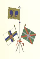
The maritime flags and standards of all nations, together with a geographical sketch (1856)
Figsbee, Alphonso. [from old catalog] · New York, A. Ranney · leaf 14
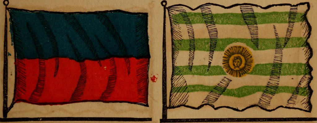
PAR AGUAY, a State of S. America,area 74,000 sq. m. The governmentis despotism, the entire power centersin a Dictator, who is commander-in-chiefof the army, head of the church, the law,and every branch of the administration. URUGUAY, a republic of S. Amer-ica, is nearly a circular form, is… … HAYTI, one of the W. I. islands, thegovernment, though nominally republi-can, is in reality an elective military mon-archy, area 29,400 square miles. MONTEVIDEO, a fortified seaportcity of S. America, capitol of Uruguay,on a peninsular extending into the es-tuary of the Plata on north side,…
Flags
Internet Archive · Library of Congress · Public Domain Mark 1.0. Free to use for anything.