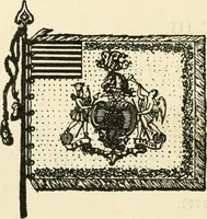
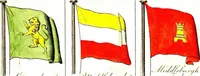
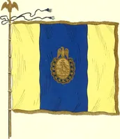
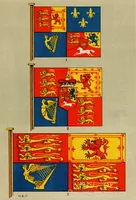
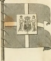
The maritime flags and standards of all nations, together with a geographical sketch (1856)
Figsbee, Alphonso. [from old catalog] · New York, A. Ranney · leaf 17
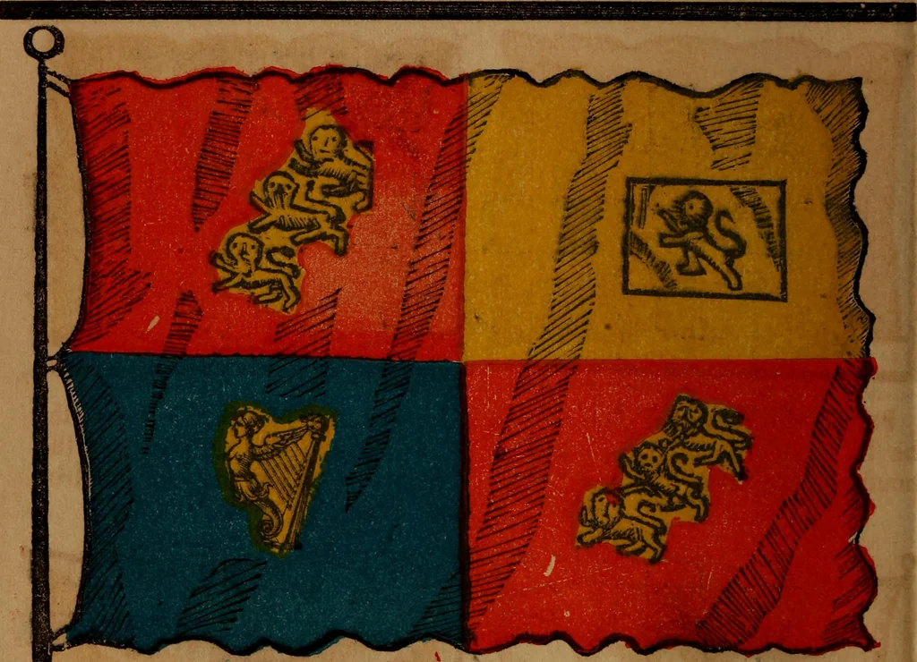
LONDON, the Capital of the BritishEmpire, on the N, and S. bank of theriver Thames, 45 miles from the sea; itcavers a space of almost 28 sa. miles. BRITISH EAST INDIA COMPA-NY British India covers the vast ex^tent of 609.000 square miles, with apopulation of 93,930,000, which sup-ports an army of… … The United Kingdom of Great Britain and Ireland com-prises England, Ireland,vand Scotland, with the principalityof Wales, commonly called the British Isles. The posses-sions of this kingdom embrace colonies in Asia, Africa, Amer-ica, and Australia, which, with the European part, form theBritish…
Flags
Internet Archive · Library of Congress · Public Domain Mark 1.0. Free to use for anything.