The maritime flags and standards of all nations, together with a geographical sketch (1856)
Figsbee, Alphonso. [from old catalog] · New York, A. Ranney · leaf 18
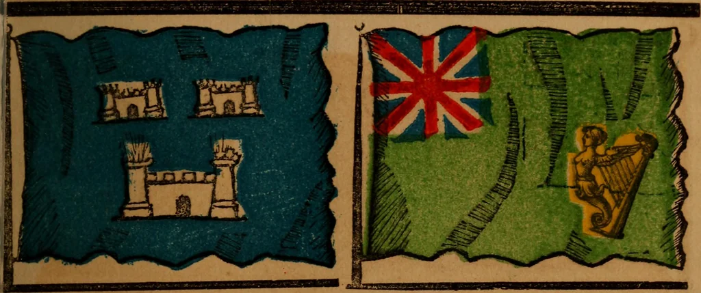
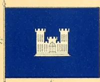
ited Kingdom of Great Britain and Ireland com-prises England, Ireland,vand Scotland, with the principalityof Wales, commonly called the British Isles. The posses-sions of this kingdom embrace colonies in Asia, Africa, Amer-ica, and Australia, which, with the European part, form theBritish Empire.… … Dublin, the capital of Ireland, on Ireland, an island of Europe in thehe E. coast of the island, at the N. Atlantic Ocean, it is part of thenouth of the river LifFey. Kingdom of Great Britain and Ire-., land, area 31,874 sq. miles.
Flags
Internet Archive · Library of Congress · Public Domain Mark 1.0. Free to use for anything.



![An illustration from Magna Britannia; being a concise topographical account of the several counties of Great Britain. [With copious illustrations.] vol. 1-6. L.P (1806)](https://img.insideoutlibrary.com/img/200/bl-bl_004159563_4-260-1.webp)