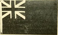
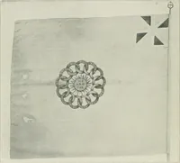
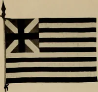
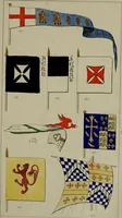
The maritime flags and standards of all nations, together with a geographical sketch (1856)
Figsbee, Alphonso. [from old catalog] · New York, A. Ranney · leaf 24
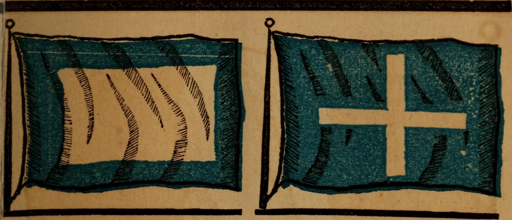
, and Ion. 4°50 west, and 8° 20 east; bounded north west and north bythe English channel, the straits of Dover and the North Sea,north east by Belgium, Dutch Luxemburg, and the Rhenishprovinces of Prussia and Bavaria; east by Baden, Switzer-land, and Sardinia; south by the Mediterranean and… … FRENCH SIGNAL FOR A PILOT. CALAIS, a seaport of France, onthe Straits of Dover, 29 miles N. N.£. of Boulogne. <l_ 5 1 ft i \ French, Eastern and AfricanColonies.
Flags
Internet Archive · Library of Congress · Public Domain Mark 1.0. Free to use for anything.