The maritime flags and standards of all nations, together with a geographical sketch (1856)
Figsbee, Alphonso. [from old catalog] · New York, A. Ranney · leaf 44
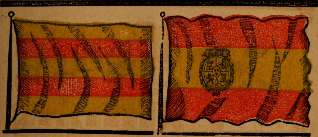
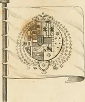
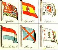
north by the bay of Biscay, west byPortugal and the Atlantic, and south and east by the straitsof Gibralter and the Mediterranean; its greatest length fromeast to west is about 650 miles; its greatest breadth, 550 m.It contains 49 provinces, covers an area of 182,758 squaremiles, with a population… … MERCHANT OP SPAIN, Spanish Man or War.
Flags
Internet Archive · Library of Congress · Public Domain Mark 1.0. Free to use for anything.