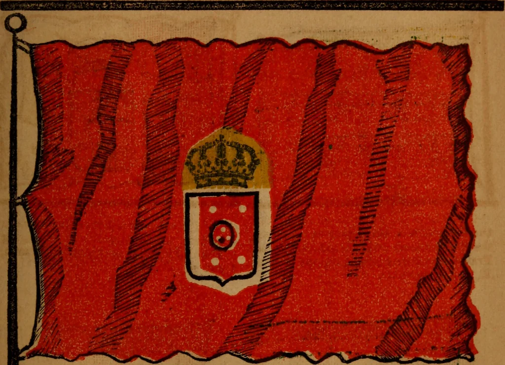
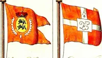
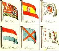
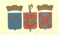
The maritime flags and standards of all nations, together with a geographical sketch (1856)
Figsbee, Alphonso. [from old catalog] · New York, A. Ranney · leaf 46
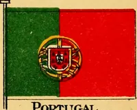
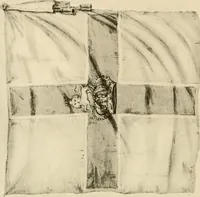
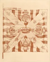
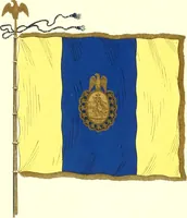
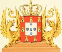
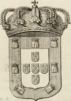
CATALONIA Province of Spam on MA.JOROA, thelargest 01 the Balearic the h, portion of the kmgdom. It has j , d . the Mediterranean, belonging the B. Pyrenees, which separate it from £s , Palma3 ta the chief t0^. areai France, on the N., Mediterranean the , J-in m;i«H E.. and Aragon the W. xiiQ sa* D… … PORTUGAL, a kingdom, the most western state of* Enrope, between the 37th and 42d degree of north latitude* andthe 6th and 10th of west longitude, bounded east and Berthby Spain, and south and west by the Atlantic; length northto south about 350 miles; average breadth rather more than100 miles; it…
Flags
Internet Archive · Library of Congress · Public Domain Mark 1.0. Free to use for anything.