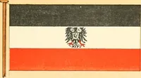
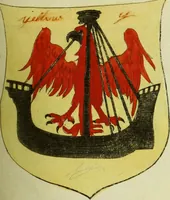
The maritime flags and standards of all nations, together with a geographical sketch (1856)
Figsbee, Alphonso. [from old catalog] · New York, A. Ranney · leaf 49
CARRARA, a town of the Duchy 01Massa, on the Lavenza, 3 1-2 miles fromthe Mediterranean, and 60 miles W. N.W. of Florence. MONACO, a town, and smau prin-cipality of N. Itaty, which is under theprotection of the King of Sardinia, withan area of 52 sq. miles. … MESSINA, a city and seaport of Si-cily, near the N. K. end of the Island,8 miles N. W. of Reggio, 66 1-2 milesN. N. E. of Catania, and 120 miles E. byN. of Palermo. SICILY, the largest Island in theMediterranean, separated from the S.end of Italy by the Strait of Messina,only two miles across. Area…
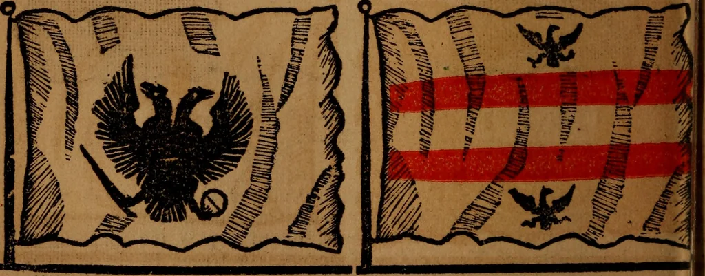
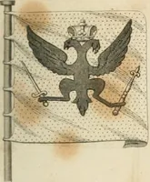
Flags
Internet Archive · Library of Congress · Public Domain Mark 1.0. Free to use for anything.