The maritime flags and standards of all nations, together with a geographical sketch (1856)
Figsbee, Alphonso. [from old catalog] · New York, A. Ranney · leaf 54
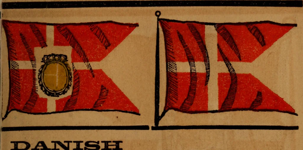
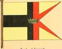
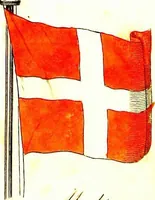
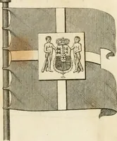
lies on the s. side of theentrance to the Baltic, bounded e. by the Baltic, the littleBelt, and the Cattegat, n. by the Shagerac, and w. by theNorth Sea. It covers an area of 21,856 sq. m., and has a pop.of 3,000,000. The foreign possessions of this kingdom areGreenland, Iceland, and the Faroe… … HIGH ADMIRAL. Daush Man of War.
Flags
Internet Archive · Library of Congress · Public Domain Mark 1.0. Free to use for anything.