The maritime flags and standards of all nations, together with a geographical sketch (1856)
Figsbee, Alphonso. [from old catalog] · New York, A. Ranney · leaf 55
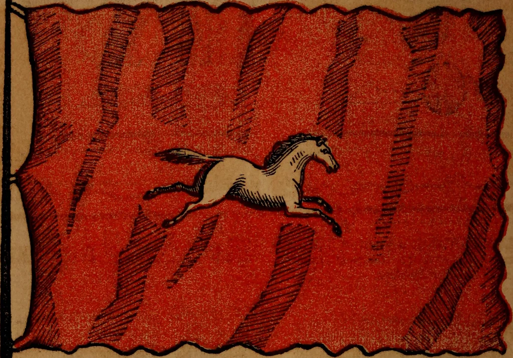
Danish Merchant,in the Mediterranean, DANISH MERCHANT MARITIME FLAGS OF ALL NATIONS. … HANOVER, a kingdom of n. w. Germany, situated betweenlat. 5V 18 and 53 52 n. and Ion. 6° 43 and 11° 45 east;bounded n. by the German ocean and the Elbe, and e. and w.by Holland; length from the mouth of the Elbe s. 172 miles,breadth e. and w. 180 m. It has 7 districts, with an area of14,276 sq. m.…
Flags
Internet Archive · Library of Congress · Public Domain Mark 1.0. Free to use for anything.
![An illustration from Illustrated announcement of the sale by auction of the Jacob Paxson Temple collection of early American furniture and objects of art ... [electronic resource] (1922)](https://img.insideoutlibrary.com/img/200/ia-liu-31289009873144-167-44.webp)