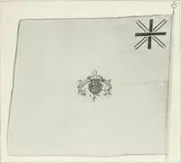
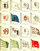
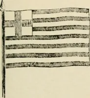
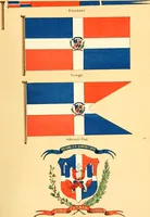
The maritime flags and standards of all nations, together with a geographical sketch (1856)
Figsbee, Alphonso. [from old catalog] · New York, A. Ranney · leaf 58
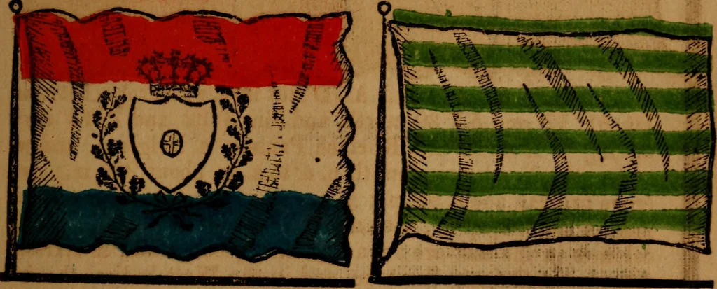
AMSTERDAM, a seaport capital ofthe province of N Holland, on thesouth of the river Tf an inlet of the Zuy-der Zee. J MERCHANT OF HOLLAND. … ROTTERDAM, city of South JIolZealand)—One of the Provinces land, the second in the kingdom, on th«of Holland, area, 671 sq. miles. north bank of the river Mews 17 miles ^ from its mouth, and 35 miles S. S. W. of Amsterdam. MARITIME FLAGS OF ALL NATIONS.
Flags
Internet Archive · Library of Congress · Public Domain Mark 1.0. Free to use for anything.