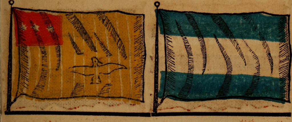
The maritime flags and standards of all nations, together with a geographical sketch (1856)
Figsbee, Alphonso. [from old catalog] · New York, A. Ranney · leaf 68
ARABIA, an extensive peninsula onthe S. W. of the Asiatic continent,bounded S. and E. by the Indian Ocean,N. E. by the Gulfs of Oman and Persia,W. the Red Sea, the N. boundary notproperly known. SMYRNA, an ancient city and sea-port of Asia Minor, the greatest empo-rium of W. Asia, on the W. side of… … WAL^ACHIAIV MERCEL^NT. JAPAN, an empire of the east coastof continental Asia, -opposite the sea ofJapan, it is supposed to cover an areaof 266.600 square miles. MAKITIME FLAGS OF ALL NATIONS.
Flags
Internet Archive · Library of Congress · Public Domain Mark 1.0. Free to use for anything.