The maritime flags and standards of all nations, together with a geographical sketch (1856)
Figsbee, Alphonso. [from old catalog] · New York, A. Ranney · leaf 71
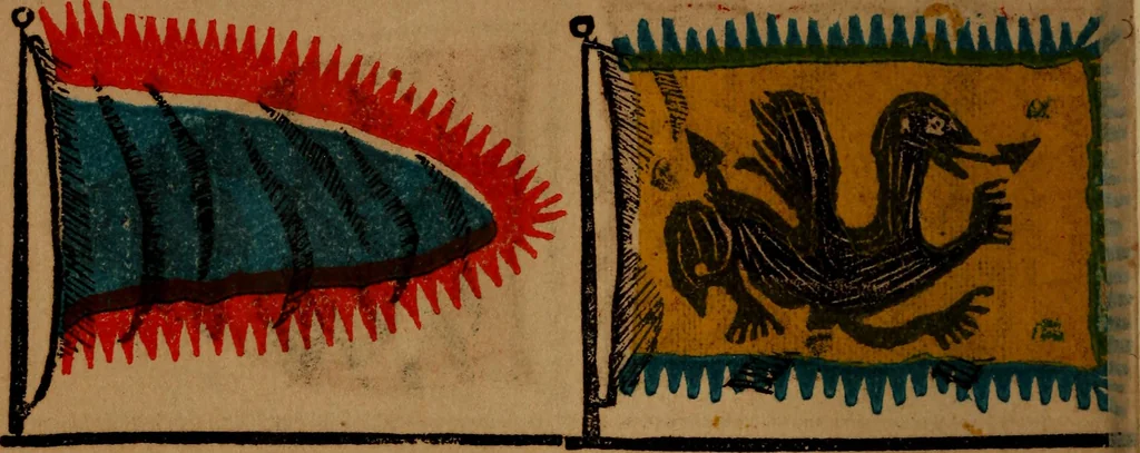
PERSIA, an extensive country incentral Asia, area 450,000 square miles,the government is despotic. Teheran isthe capital, 70 miles south of the Cas-pian Merchant of PERSIA. MARITIME FLAGS OF ALL NATIONS. … CHINA, an Empire of S. E. Asia^ be-tween lat. 20 and 56 N.and Ion. 70 and144 E., in form nearly square. It contains15 provinces and covers a space of1,297,999 sq. miles. EMPEROR of China, the governmertconsists of an Emperor who is called thjson of Heaven; his Imperial Majesty ilooked on as father…
Flags
Internet Archive · Library of Congress · Public Domain Mark 1.0. Free to use for anything.