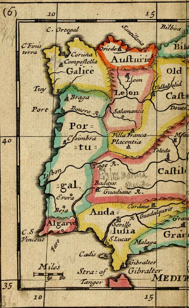
A new systeme of geography : designed in a most plain and easie method, for the better understanding of that science : accommodated with new maps, of all the empires, kingdoms, principalities, dukedoms, provinces and countries in the whole world : with geographical tables, explaining the divisions in each map (1694)
![An illustration from L'Europe [l'Asie, l'Afrique, l'Amerique] en plusieurs cartes, e n plusieurs cartes, et en divers traittés de geographie et d'histoire .. (1683)](https://img.insideoutlibrary.com/img/200/ia-leuropelasielafr00sans-386-133.webp)
![An illustration from A collection of maps of Europe, Asia, Africa, North America, and South America, circa 1700-1725, by Sr. Sanson, Guillieme de l'Isle, Peter Schenck, and others. [cartographic material] (1700)](https://img.insideoutlibrary.com/img/200/ia-collectionmapsE00Sans-10-15.webp)
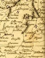
![An illustration from A collection of maps of Europe, Asia, Africa, North America, and South America, circa 1700-1725, by Sr. Sanson, Guillieme de l'Isle, Peter Schenck, and others. [cartographic material] (1700)](https://img.insideoutlibrary.com/img/200/ia-collectionmapsE00Sans-158-240.webp)
![An illustration from L'Europe [l'Asie, l'Afrique, l'Amerique] en plusieurs cartes, e n plusieurs cartes, et en divers traittés de geographie et d'histoire .. (1683)](https://img.insideoutlibrary.com/img/200/ia-leuropelasielafr00sans-249-85.webp)