Inside Out Library · Explore

A new systeme of geography : designed in a most plain and easie method, for the better understanding of that science : accommodated with new maps, of all the empires, kingdoms, principalities, dukedoms, provinces and countries in the whole world : with geographical tables, explaining the divisions in each map (1694)
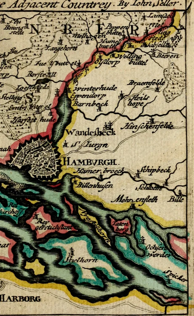
Seller, John, fl. 1658-1698 · Wapping : J. Seller · leaf 220

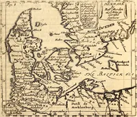
An illustration from A new systeme of geography : designed in a most plain and easie method, for the better understanding of that science : accommodated with new maps, of all the empires, kingdoms, principalities, dukedoms, provinces and countries in the whole world : with geographical tables, explaining the divisions in each map, 1694, leaf 220
e ^dyacent Cotcntrei/ :ByJbhn^filler … Jutland • i^ thits Hoirteiu. rXhe Scaw \ See by\Alhorck \cl;ctteJ\Hot fens \ HJ;nnebarch Sle^VTicJc — Xla. iGtucf-.riair \HalbeckZOd^nfce Mtk federal/^aii IflanJs Zelaixcl I. Fionxe I.

Geography

Internet Archive · University of Pittsburgh Library · Public Domain Mark 1.0. Free to use for anything.

More pictures from A new systeme of geography : designed in a most plain and easie method, for the better understanding of that science : accommodated with new maps, of all the empires, kingdoms, principalities, dukedoms, provinces and countries in the whole world : with geographical tables, explaining the divisions in each map

More like this