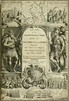
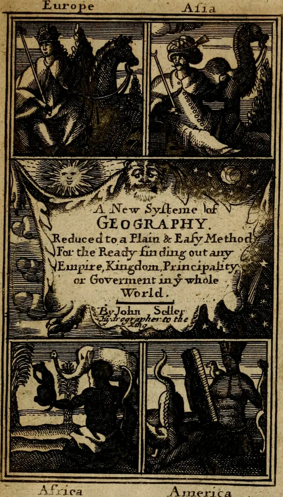
A new systeme of geography : designed in a most plain and easie method, for the better understanding of that science : accommodated with new maps, of all the empires, kingdoms, principalities, dukedoms, provinces and countries in the whole world : with geographical tables, explaining the divisions in each map (1694)
A KEW P ^- s y s T E mT^ Defigned in a Moft Plain and Eafy Method, for the better Under- ftanding of that Science. Accommodated With NEW M A P P S, OF ALL THE Countreys, Regions, Empires,Monarchie-,Kingdoms, Principalities, Dukedoms,Marquefates, Domfnions, Eftates, Re-publiques,…
Geography
Internet Archive · University of Pittsburgh Library · Public Domain Mark 1.0. Free to use for anything.
![An illustration from Catalogvs gloriae mundi : laudes, honores, excellentias, ac pre̜eminentias omniũ fere statuũ, plurimarumq[ue] rerũ illius continẽs (1546)](https://img.insideoutlibrary.com/img/200/ia-catalogvsgloriae00chas-5-0.webp)