Ohio archæological and historical quarterly (1893)
Ohio State Archaeological and Historical Society · Columbus : Published for the Society by A.H. Smythe · leaf 279
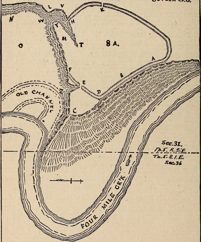
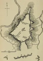
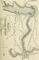
orner of the State the wordnorth must not be used. In the location of the mounds of Butler county, asgiven in the first number of the Quarterly this mistake of using N. (north)occurs nine times; and the mounds as thus described lie in Paulding andDefiance counties—not in Butler at all. The work… … :x>ra.uf7z7.y V.w. j-eyi/ins ffcA L m ■JHolff: ^mt^tf^ Note.—The scale of the above map in the original drawing was 320 feetto the inch. In making the plate the map was, by error, reduced in size,giving an actual scale of about 500 feet to the inch. forest, mentioned in the Ohio Geological…
History · Archaeology
Internet Archive · Allen County Public Library · Public Domain Mark 1.0. Free to use for anything.