Ohio archæological and historical quarterly (1887)
Ohio State Archaeological and Historical Society · Columbus : Published for the Society by A.H. Smythe · leaf 122
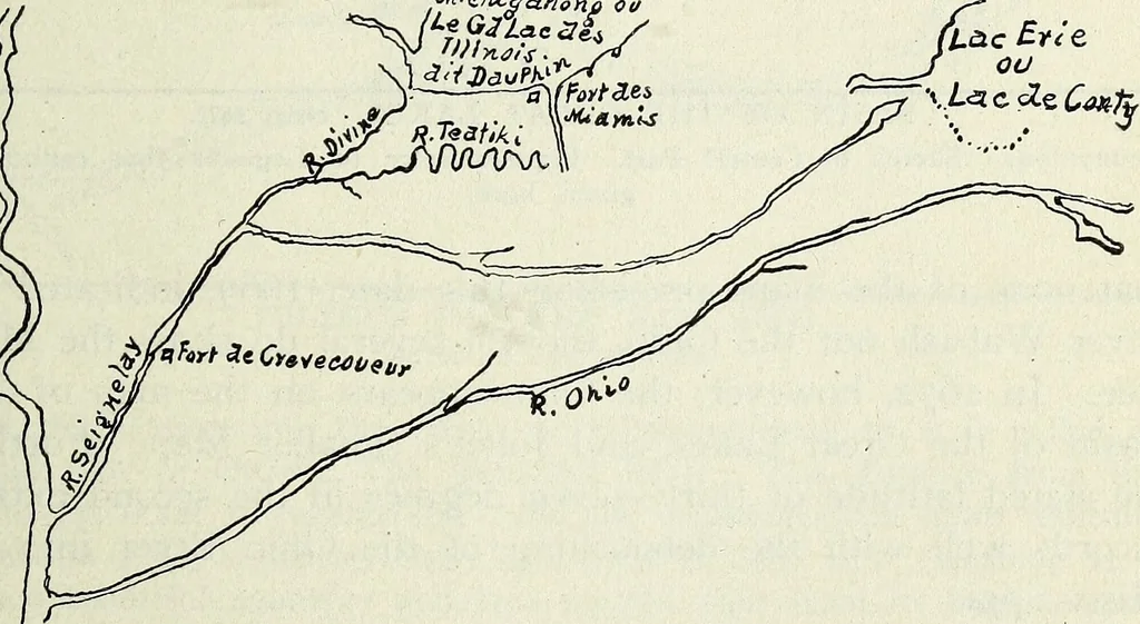
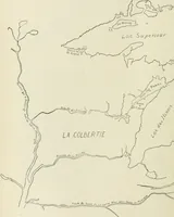
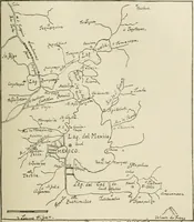
to this by way of a river which rises in a large swampand is enlarged by other rivers, and with much fall. He followed Itthroughout its extent, and along another large river until it was enlargedby another very large river from the north, to the latitude of thirty-sevendegrees. According to all… … SKETCH OF FRANQUELINS MAP OF 1682. It is also significant that the latitude of 410, named in thefirst extract, corresponds with that of the large swamp which, 110 Ohio Arch, and His. Society Publications. even through the first half of the 19th century, often partook ofthe nature of a lake, as…
History · Archaeology
Internet Archive · Allen County Public Library · Public Domain Mark 1.0. Free to use for anything.