Nettlefold, John Sutton · London : The St. Catherine press · leaf 282
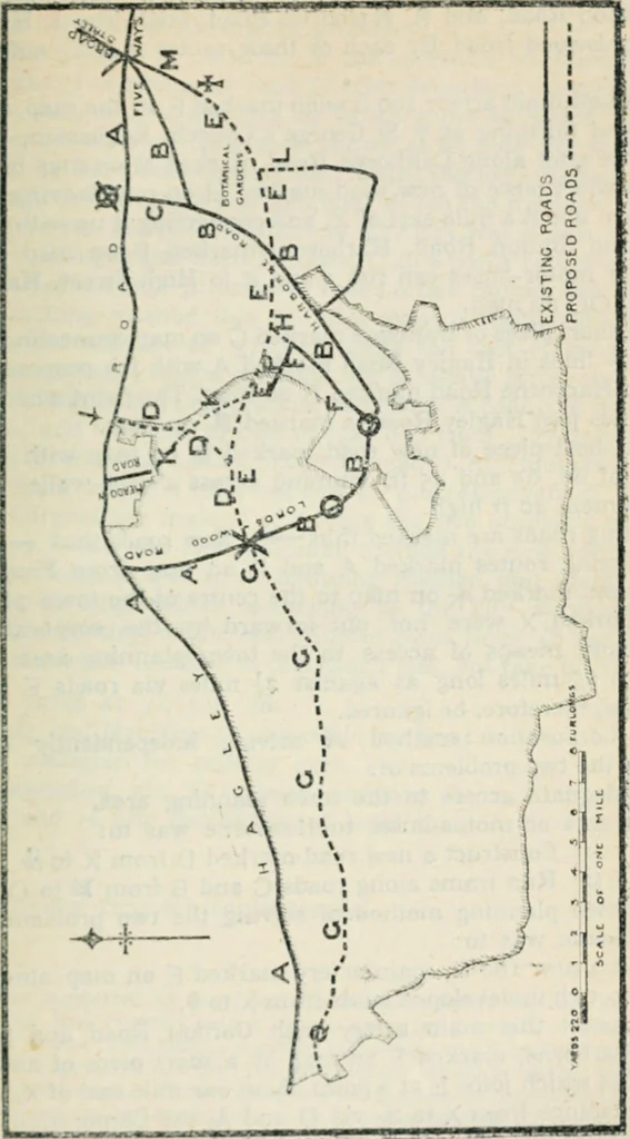
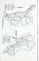
ars by two existing golf links. 3. The ^ in the right-hand top corner of the map is Five Ways,*Edgbaston, from which one main thoroughfare without tram linesand running north-west leads to the Town Hall and anotherthoroughfare with tram lines on it runs east and west. 4. 00 mark High Street,… … 264 APPENDIX I 5. The two existing means of access, viz., A, Hagley Road andLordswood Road, and B, Harborne Road, High Street, Harborneand Lordswood Road. By each of these routes it is 2| miles from* to X- 6. A new main artery 100 ft wide marked E on the map, startingat X and finishing at f1 St…
City planning · Cities and towns -- Great Britain
Internet Archive · California Digital Library · Public Domain Mark 1.0. Free to use for anything.