Reports of explorations and surveys, to ascertain the most practicable and economical route for a railroad from the Mississippi River to the Pacific Ocean (1855)
United States. War Department, author · Washington [D.C.] : A.O.P. Nicholson, printer · leaf 362
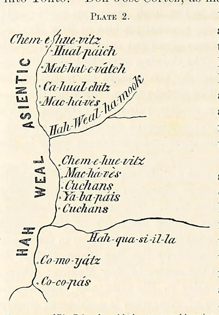
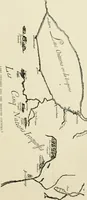
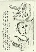
place, who gave him information of several great nations and pneblos. After having described Cevola, the friar adds : Like¬ wise he saith that the kingdom of Totonteac lieth towards the west ; a very mighty province, replenished with infinite store of people and riches.” The position indicated,… … Yuma map of Rio Colorado, with the names and location rppe exjstence 0f several of these tribes appears to be of tribes within its valley. 1 known to Indians only. The same names were given to me in 1849, by the chief of the Yumas, at the mouth of the Rio Gila. Their population could not be…
Pacific railroads -- Explorations and surveys · Discoveries in geography -- American · Natural history -- West (U.S.) · Natural history -- California · Indians of North America -- West (U.S.) · West (U.S.) -- Description and travel · California -- Description and travel · United States -- Discovery and exploration
Internet Archive · Smithsonian Libraries · Public domain (published before 1931). Free to use for anything.
![An illustration from The American archaeologist [serial] (1898)](https://img.insideoutlibrary.com/img/200/ia-americanarchaeol02colu-25-20.webp)