Reports of explorations and surveys, to ascertain the most practicable and economical route for a railroad from the Mississippi River to the Pacific Ocean (1855)
United States. War Department, author · Washington [D.C.] : A.O.P. Nicholson, printer · leaf 185
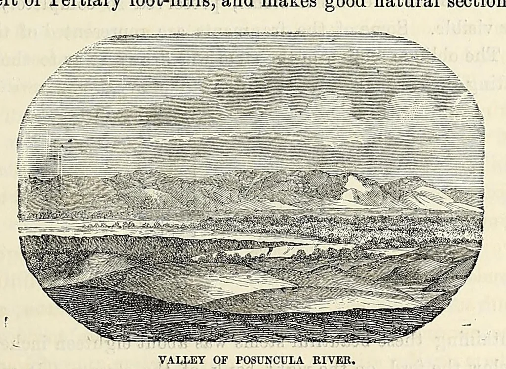
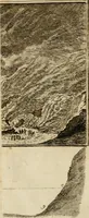
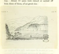
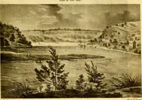
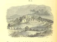
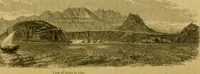
ravel partly upon the slopes of the hills. A sketch by Mr. Koppel presents a good view of the hills along a part of this ravine, and serves to give a good idea of the general character of the hills near our camp on Ocoya creek. (See Yiew X, Chapter XIII.) Posuncula, or Kern river, like Ocoya creek,… … VALLEY OF POSUNCULA EIVER. its banks. The section it forms on its southern or left bank presents an interesting appearance when viewed from the tops of the hills, at the divide between its waters and those of Ocoya creek. The bank is seen to extend many miles, with a nearly uniform elevation above…
Pacific railroads -- Explorations and surveys · Discoveries in geography -- American · Natural history -- West (U.S.) · Natural history -- California · Indians of North America -- West (U.S.) · West (U.S.) -- Description and travel · California -- Description and travel · United States -- Discovery and exploration
Internet Archive · Smithsonian Libraries · Public domain (published before 1931). Free to use for anything.