Reports of explorations and surveys, to ascertain the most practicable and economical route for a railroad from the Mississippi River to the Pacific Ocean (1855)
United States. War Department, author · Washington [D.C.] : A.O.P. Nicholson, printer · leaf 254
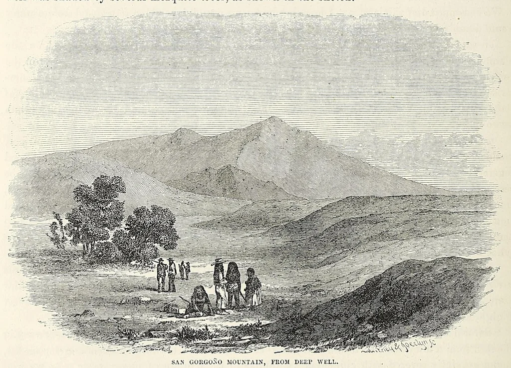
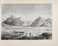
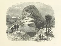
or as often as the water failed or became very low. The soil for the whole depth of the well consisted entirely of fine, bluish clay, with a little sand. The surface of the ground was nearly level and floor-like, and extended from the base of the sand-drifts to the mountain, intersecting the rocky… … SAN GORGON 0 MOUNTAIN, FROM DEEP WELL. The peak of San Grorgono rises in the back ground, the pass being on the right, over the line of sand-hills in the foreground. We encamped, and before the mules were satisfied with water, it was all exhausted. It oozed
Pacific railroads -- Explorations and surveys · Discoveries in geography -- American · Natural history -- West (U.S.) · Natural history -- California · Indians of North America -- West (U.S.) · West (U.S.) -- Description and travel · California -- Description and travel · United States -- Discovery and exploration
Internet Archive · Smithsonian Libraries · Public domain (published before 1931). Free to use for anything.