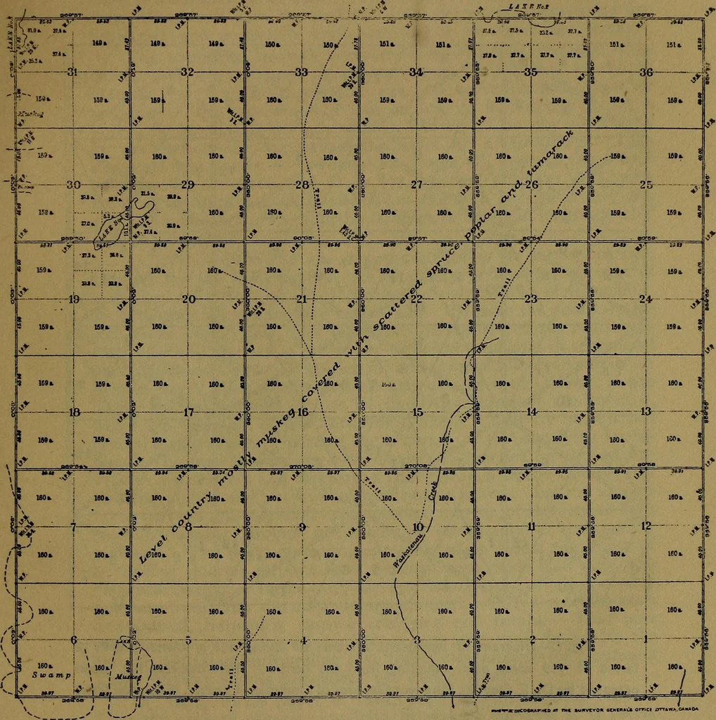
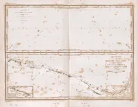
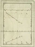
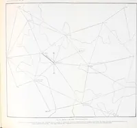
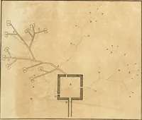
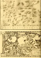
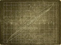
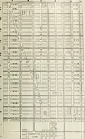
it might be of interest to describevery briefly how the great extent of township surveys in the PrairieProvinces has been accomplished without confusion. The countrywas first divided into strips approximately 180 miles wide, wherebounded on the south by the international boundary. The eastand west… … Compiled from official surveys by Ar^t tn «>^.r arc marked on. aiX tflnds sur^ev^d. Department of the Interior, Ottawa, 4tJt May, 1911 Distances are in chains BeannS! or, r>ck<,r«! /r<,™ Uu, artr-n. ■r.iuj Jppramd and Confirm^ meridian thT^*>^ih tJie centre of the towmfup. Sumeyor…
City planning · Public lands
Internet Archive · Smithsonian Libraries · Public Domain Mark 1.0. Free to use for anything.