The seaman's tutor, explaining geometry, cosmography, and trigonometry : with requisite tables of longitude and latitude of sea-ports, traverse tables, tables of easting and westing, meridian miles, declinarions, amplitudes, refractions, use of the compass , kalendar, measure of the earth's globe, use of instruments and charts, difference of sailing, estimation of a ship's way by the log, and log-line, currents, & c. : compiled for the use of the mathematical school in Christ's hospital-London, His Majesty Charles II, his royal foundation (1682)
Perkins, Peter · London : Obadiah Blageave · leaf 368
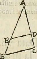
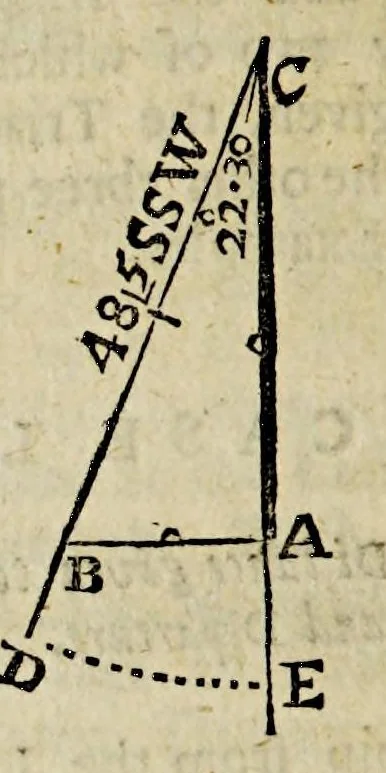
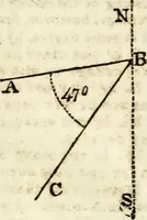
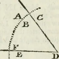
i " - §l ihe Tutor to Navigation. r ' - , . - \rv "i 0 N . * • ,• >¥ Geometry. Firft draw the North and South Line A … and taking with the Compares fixty degr from the Line of Chords, fet ( becaufe fails Southward; one foot in fome point wards the North on the faid Line A C, a: C, and defer ibe the Arch D E, and lay the on the Courfe two points, or twenty two rrees thirty minutes from EtoD, and di ; B. Secondly ,…
Navigation -- Early works to 1800 · Imprint 1682
Internet Archive · John Carter Brown Library · Public domain (published before 1931). Free to use for anything.
![An illustration from Nicolai Copernici Torinensis De reuolutionibus orbium coelestium, libri VI : Habes in hoc opere iam recens nato, & aedito, studiose lector, motus stellarum, tam fixarum, quàm erraticarum, cum ex ueteribus, tum etiam ex recentibus obseruationibus restitutos: & nouis insuper ac admirabilibus hypothesibus ornatos. Habes etiam tabulas expeditissimas, ex quibus eosdem ad quoduis tempus quàm facillime caculare poteris. Igitur eme, lege, fruere. [Line in Greek] (1543)](https://img.insideoutlibrary.com/img/200/ia-nicolaicopernici00cope-271-175.webp)