Inside Out Library · Explore
Statistical Atlas of the United States (1914)
Sloane, Charles S. · leaf 568
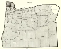
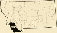
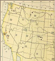
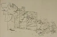
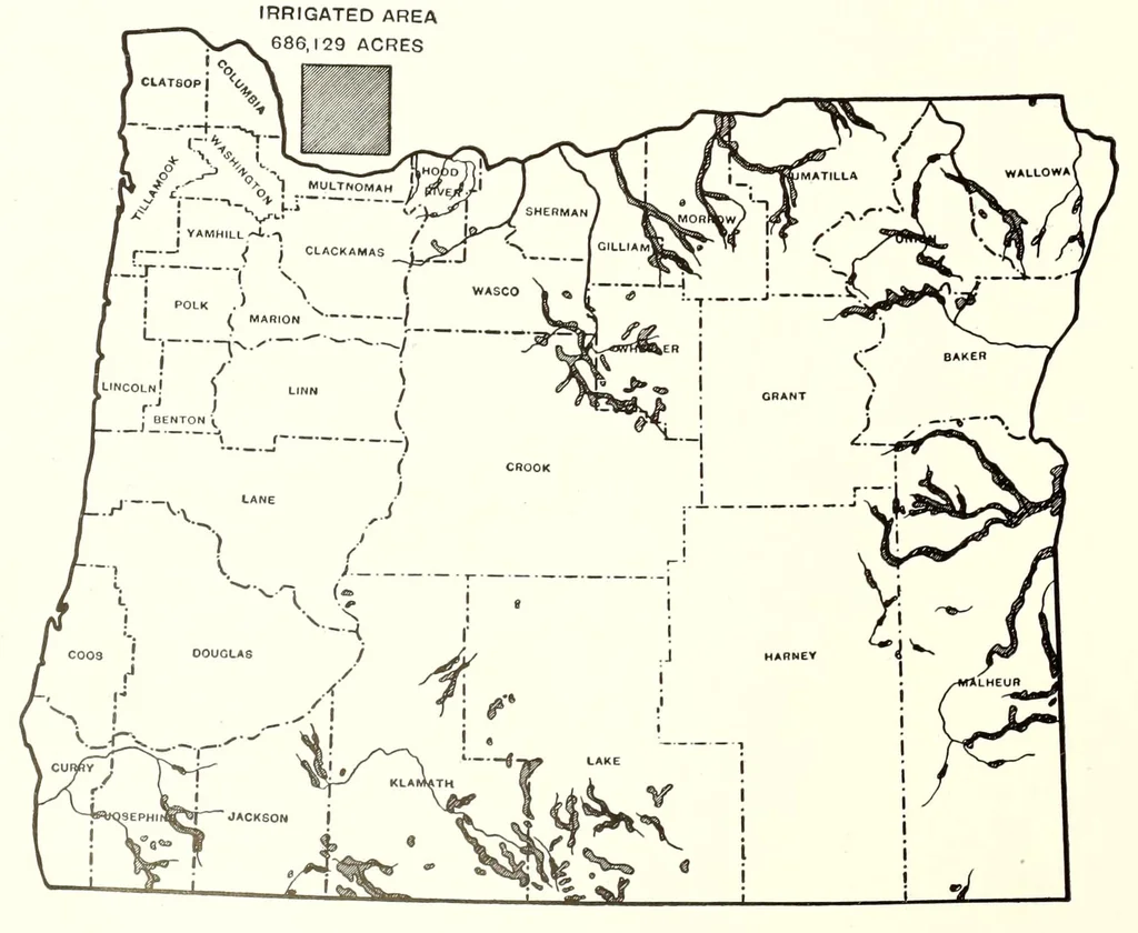 PLATE NO. 405 APPROXIMATE LOCATION AND EXTENT OF THE LAND INCLUDED IN IRRIGATION PROJECTS: 1910 1. WASHINGTON 2. OREGON IRRIGATED AREA
Internet Archive · Clemson University Libraries · Public domain (published before 1931). Free to use for anything.
More pictures from Statistical Atlas of the United States
More like this