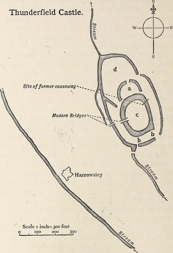
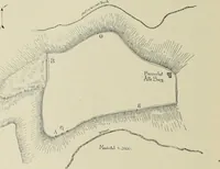
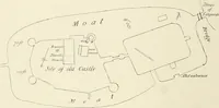
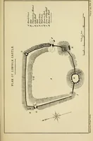
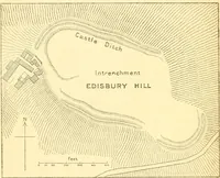
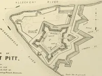
ge on the south-west. In the old maps there is a causeway across theditch to the north-east now demolished. This wasperhaps not ancient. The probable original entrancewould be a wooden bridge on the north-west behind thecovering demi-lune, a. This lunette has an entrance by vol. XVIII. B 2… … Scale i inch= 300 feeto < 100 200 300 curving bank, b, with a similar flanking entrance in theeast, and a similar direct entrance in front by a cause-way across the ditch outside it. This outer ditch iscarried round the whole work with a low bank behindit, with causeways across it to the north…
Archaeology
Internet Archive · Allen County Public Library · Public Domain Mark 1.0. Free to use for anything.