The theory and practice of surveying. Designed for the use of surveyors and engineers generally, but especially for the use of students in engineering (1886)
Johnson, J. B. (John Butler), 1850-1902 · New York, J. Wiley & sons · leaf 601
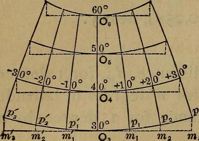
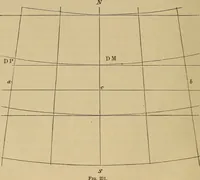
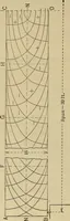
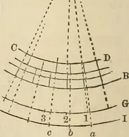
eveloped parallel is a parabola, and so it may beconsidered for a distance of 25 degrees either side of the cen-tral meridian between the latitudes 300 and 500 without mate-rial error. If the whole of the United States were projected by thistable, using the factors given, to a scale of I to… … Fig. 151. Thus, for a map of this size, covering 20 degrees of lati-tude and 50 degrees of longitude, the geodetic lines would have their true position within thewidth of a fine pencil line, by theuse of Table XL Fig. 151 will illus-trate the use of the table in project-ing a map by the polyconic…
Surveying
Internet Archive · Library of Congress · Public Domain Mark 1.0. Free to use for anything.