Finch, James Kip, 1883- · New York : John Wiley & Sons, Inc. · leaf 142
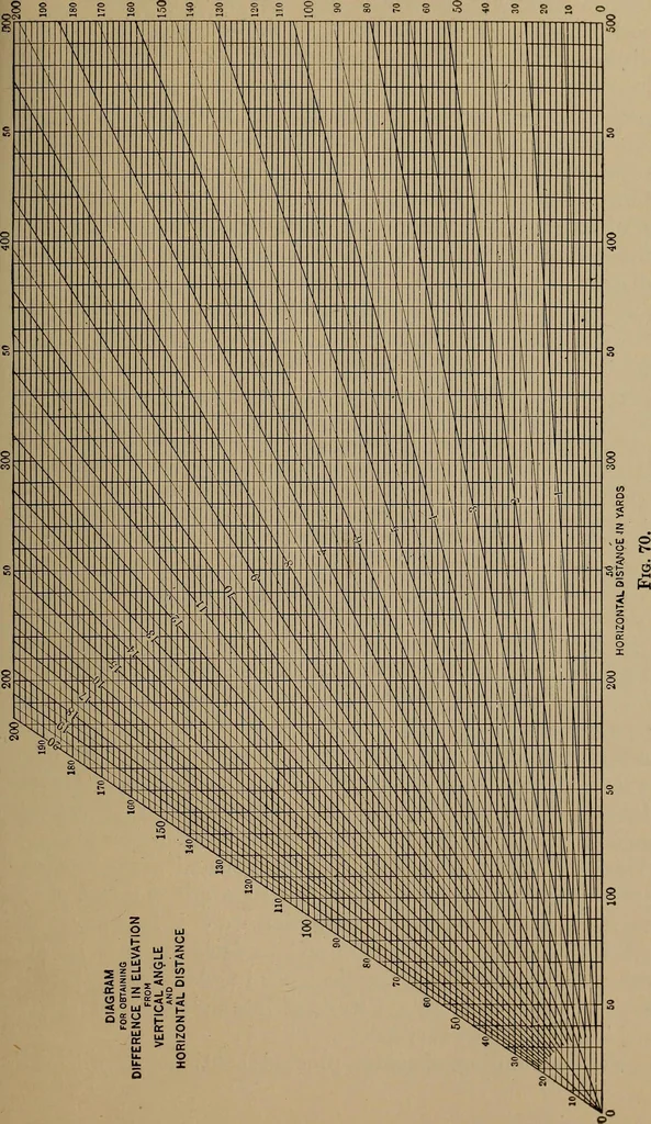
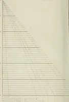
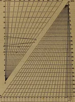
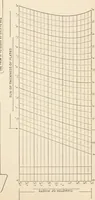
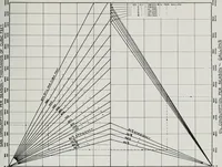
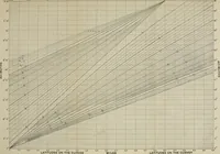
Fig. 69.—Correction of a Downward Sight. elevation is found by solving the right-angle triangle ABCof Fig. 53 for the side BC. That is, we may lay off the verticalangle BAC to scale and also the horizontal distance, and thenscale off the height BC. Or we may solve this triangle byproper… … ^ S oc o £ £ £ uj •* a. u. o 122 CONTOUR MAPPING illustrated in Fig. 70, which consists simply of a drawing toscale showing a large number of vertical angles and horizontaldistances which enable us to secure graphically the differencein elevation without making a separate drawing for eachproblem.…
Cartography · Military maps
Internet Archive · Library of Congress · Public Domain Mark 1.0. Free to use for anything.