Finch, James Kip, 1883- · New York : John Wiley & Sons, Inc. · leaf 30
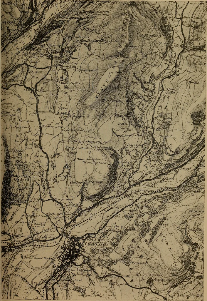
Strean»_*d*i5fart3a» °**lSiS*V> Bridge Ferry(Vehicles) Fig. 4.—Characteristic Sheet for English Ordnance Survey. ments built to carry lines over valleys and other depressions.These features are important from the military standpointas they would furnish cover for troops and in engineeringwork… … Fig. 5.—Portion of the Swansea and Merthyr Tydfil Sheet (No. 102) of theOrdnance Survey of England and Wales. Scale 1 in. = 1 mile. Original in colors. 14 WHAT A TOPOGRAPHIC MAP SHOWS railroad, for example, either above grade (overhead crossing)or below grade instead of using the objectionable…
Cartography · Military maps
Internet Archive · Library of Congress · Public Domain Mark 1.0. Free to use for anything.
![An illustration from Travels through the Southern Provinces of the Russian Empire in 1793 and 1794. Translated from the German [by F. W. Blagdon]. MS. notes (1812)](https://img.insideoutlibrary.com/img/200/bl-bl_002753914_2-641-1.webp)